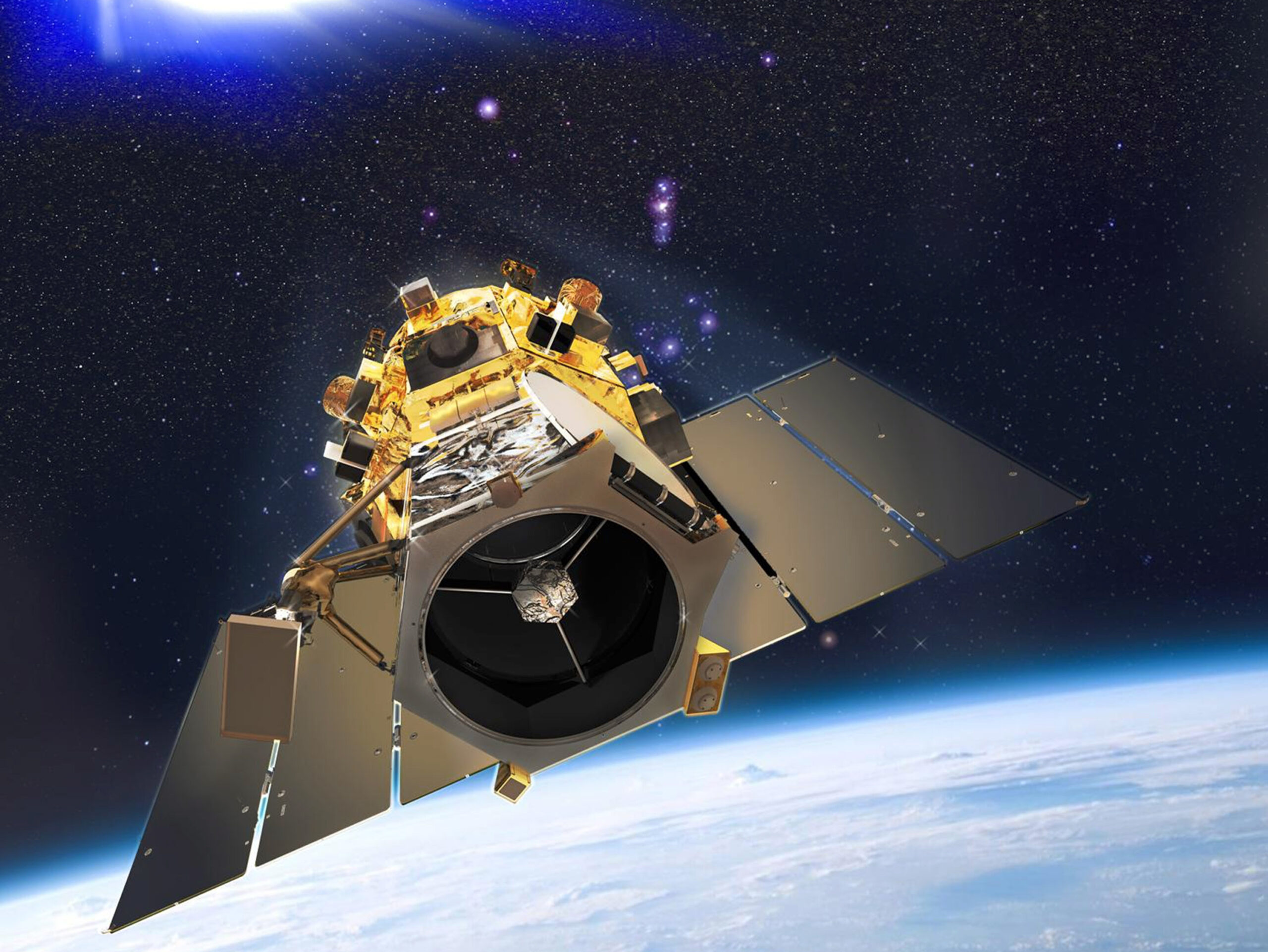
The many benefits of satellite imagery are well documented. The technology allows us to track weather systems and identify dangerous storms. It’s easy to repeat the process, allowing us to cover larger areas. And because the data is digital, it can be easily integrated with the software. And because the image is not affected by cloud cover, the processing can be done quickly and efficiently. This technology has many applications for government, business, and the general public.
Monitoring Changes in Environments:
It is particularly useful for monitoring changes in environments. It is possible to monitor changes in weather patterns, climate, and land cover. For example, satellite images can show dramatic changes in polar regions, such as the retreat of glaciers due to global warming. They can also identify the spread of deserts in new areas and forest fire incidents. These images can prompt governments to take action to protect their communities. And they’re affordable, which makes them an excellent resource for a variety of industries.
Wide Range of Applications:
There is a wide range of applications for satellite images. For example, they’re ideal for anomaly hunting, which is the process of identifying unexplained phenomena. And because of their high resolution, GeoEye-1 satellite images can be acquired in visible colors as well as spectra. Radar images are used to make elevation maps. This data can be used for many different applications, and image interpretation requires specialized software. However, it’s still worth pointing out that these images are only one small portion of the benefits of a larger picture.
Accuracy:
Another advantage of satellite imagery is its accuracy. It is a great tool for decision-making, but it is not a replacement for boots on the ground. Its quality depends on weather conditions, and the clouds can often obscure objects on the ground. And, the revisit time of the imagery may not be suitable for specific purposes. Moreover, its spatial resolution doesn’t always allow for the necessary detail for an accurate map. Therefore, it’s essential to compare satellite imaging data to other data before making any decisions.
There Are Many Advantages to Satellite Imagery:
Technology is more efficient than ever. It is less expensive and can save money for businesses, governments, and individuals. Besides being more precise, satellite imagery can help you understand the terrain and help with urban planning. And it also improves safety. It can prevent disasters. A satellite-based image is an invaluable tool. And if you’re worried about the safety of your business, a high-quality image can help you avoid major problems.
Important Data from Satellite:
The data from satellites is not only useful for the business community but can also be used for recreational purposes. Aside from its use in research, it is beneficial in various ways. The data from a satellite is high-resolution, and you can use it for any number of applications. Aside from its commercial applications, it can also be used for mapping in urban zones. It is ideal for emergency preparedness, and it can save lives.
Improve the Efficiency:
Satellite imagery can help you determine the land’s boundaries and protect native flora. It can be used to plan road and rail infrastructure. In addition to these, satellite imagery can help you map the world’s communities. Unlike paper maps, these maps are living documents, and they are constantly being improved. Using satellite imagery can also improve the efficiency of your operations, saving you money and improving safety. Satellite imagery can help you monitor any area in the world. It can help you make informed decisions, plan and prevent disasters. It is an effective tool for mapping. There are many uses of satellite imagery. These range from agricultural to medical. Depending on the application, satellite images can help you analyze the conditions of a given region or city. With these images, you can better plan for the future. And it helps you monitor areas of concern.

